


Squibnocket Pond At-A-Glance
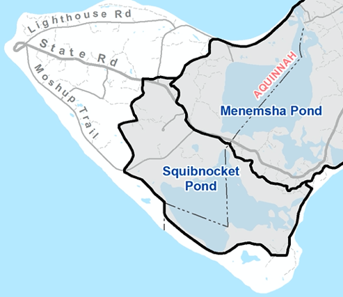
Squibnocket Pond Watershed Map
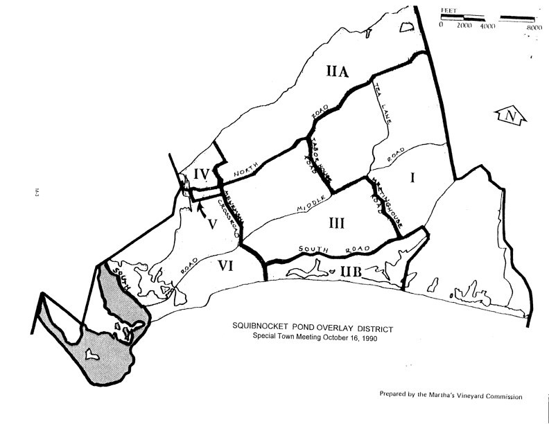
The Town of Chilmark’s Zoning Bylaws, Article 3.1.H, describe the district boundaries as:
- Beginning at the point where the Chilmark-Gay Head town line intersects State Road; thence Easterly by State Road to Squibnocket Road; thence
- Southerly by Squibnocket Road to a point of mean high water on the shore of the Atlantic Ocean; thence
- Westerly along mean high water of the Atlantic Ocean to the point where the Chilmark Gay Head town line intersects the beach; thence
- Northerly along the Chilmark-Gay Head town line to the point of the beginning.
Facts and Figures
Squibnocket Pond is a shallow, brackish coastal pond located within the towns of Chilmark and Aquinnah, which share its oversight. It is currently entirely enclosed except for a connection to Menemsha Pond via a herring run that passes through a culvert located under State Road, which provides very limited tidal exchange. The Herring Run is managed by the Wampanoag Tribe’s Natural Resources Department (see links below).
Pond area: 603 acres
Mean depth: 4.7 feet
Tidal range: 0
Watershed area: 1,229 acres
Public access points
- You can see the East End of the Pond from the Squibnocket Beach parking lot.
- There is a kayak launch site at the east end. From the top of the beach parking lot, follow the dirt road that veers to the right, over the bridge. The public launch is on the right a short way from the end of the bridge.
- The Squibnocket Pond Reservation at the western end of the pond, in Aquinnah, hopes to be open to the public in 2022. For updates, see Sheriff’s Meadow Foundation
https://sheriffsmeadow.org/news-updates/squibnocket-pond-reservation/